
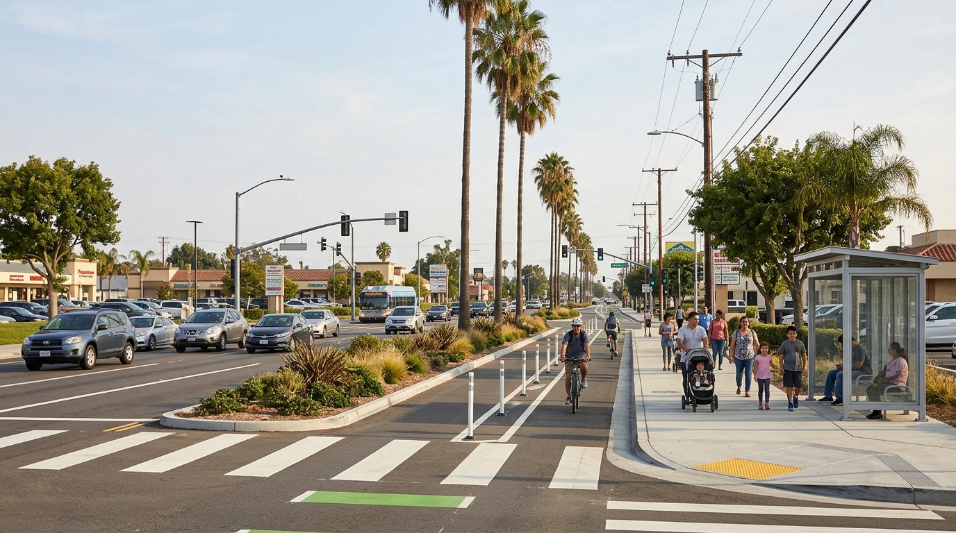
The Buena Park Complete Streets Project 2026 could change how people travel on parts of Dale Street and Whitaker Street. The plan adds bike lanes, safer crossings, improved bus stops, new curb ramps, and traffic-calming features. It also includes landscaping and changes to some traffic lanes.
These updates matter to more than cyclists. Drivers, pedestrians, transit riders, students, seniors, and people with disabilities also use these streets each day. A street project can change how people reach homes, schools, stores, jobs, and bus stops.
The project remains in the design stage in 2026. Buena Park still needs to finish work with utilities, nearby agencies, and other partners. Therefore, residents should view the current plans as proposed improvements, not finished construction.
This guide explains what the city plans to add. It also covers the project timeline and the changes residents should watch for.
What the Buena Park Complete Streets Project 2026 Includes
The project covers Dale Street between Malvern Avenue and Auto Center Drive. It also covers Whitaker Street between Stanton Avenue and the eastern Buena Park city limit. The goal is to make these corridors safer and easier to use for several types of travelers.
Current plans call for about 6,800 feet of Class II bike lanes. They also include about 3,800 feet of Class IV separated bikeways. Other features include new crosswalks, pedestrian beacons, curb ramps, medians, sidewalk work, and bicycle detection.
The project also calls for traffic calming, shade trees, and better bus-stop features. These changes aim to create a street that works for more people, not only for drivers.
Bike Lanes, Crosswalks and Pedestrian Improvements
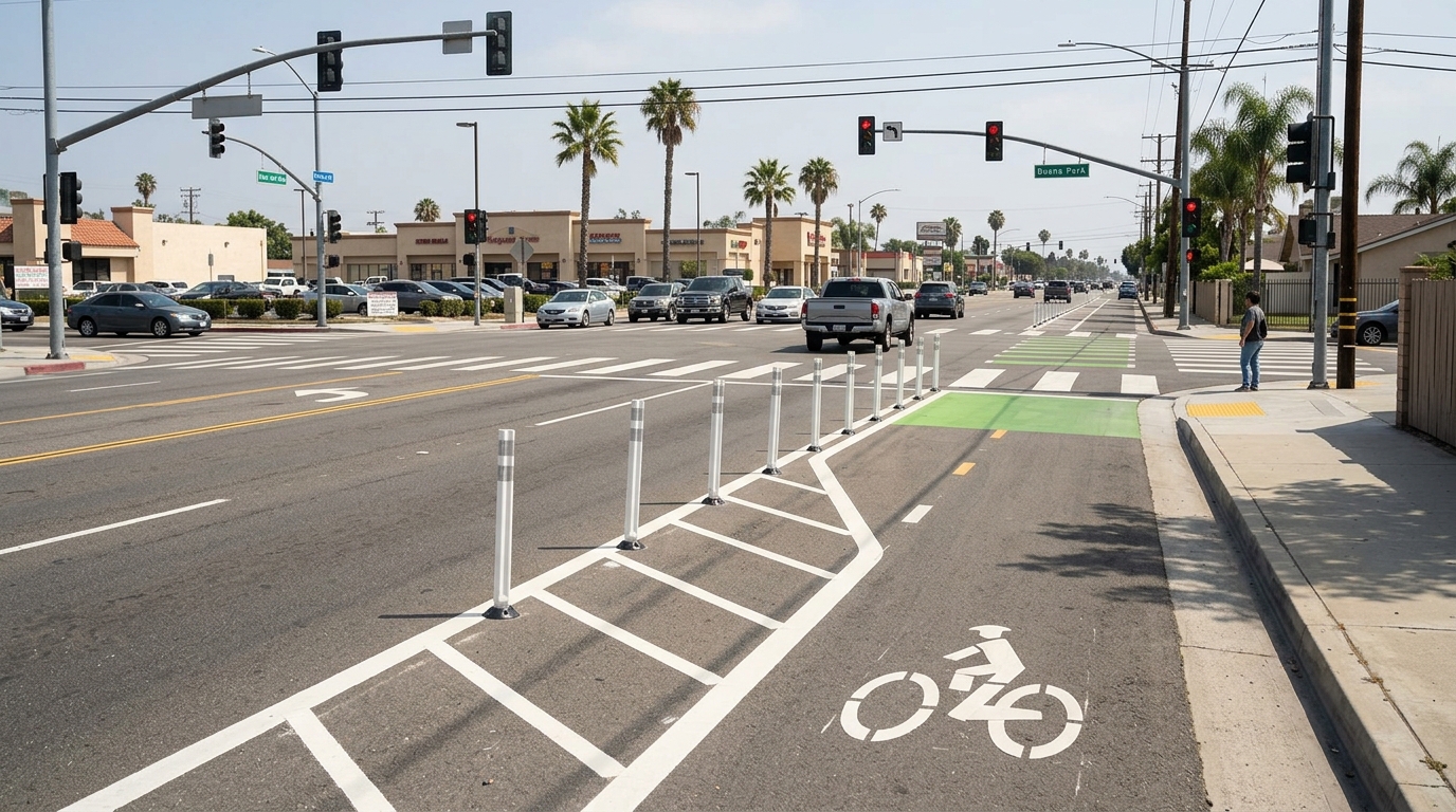
The bicycle network will likely be one of the most visible changes. California uses several bikeway types. Each type offers a different level of separation from traffic.
A Class II bike lane is a painted lane on the street. Signs and pavement markings show where cyclists should ride. A Class IV bikeway adds a physical separation from moving vehicles. That separation may use posts, barriers, parked cars, or similar features.
The California Department of Transportation explains these bikeway types in its official transportation glossary. Residents can use that guide when reviewing project maps or future construction notices.
What Class II and Class IV Bike Lanes Mean for Daily Travel
Painted bike lanes can work well for riders who feel comfortable near traffic. Separated lanes may appeal to people who want more space from moving cars. That extra space can make cycling feel more practical for some families and less confident riders.
However, no bike lane removes every risk. Cyclists still cross driveways and intersections. Drivers may turn across bike routes. Delivery vehicles can also create conflicts near the curb.
Good design makes those conflict points easier to understand. Clear markings and predictable lane paths can help both cyclists and drivers. The project also includes bicycle loop detectors. These devices can help traffic signals notice a cyclist waiting at an intersection.
Residents who enjoy local outdoor activities can also read our Ralph B. Clark Regional Park family guide. That guide focuses on recreation in a park setting. The Dale and Whitaker project focuses on everyday travel between local destinations.
Crosswalks, Pedestrian Beacons and ADA Curb Ramps
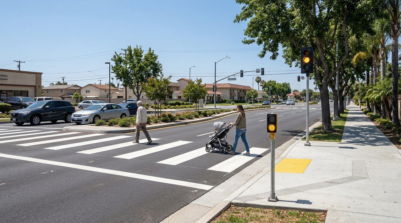
The plan includes five new crosswalks and two pedestrian beacons. It also calls for several curb ramp upgrades. These features can help people reach schools, bus stops, stores, and nearby neighborhoods on foot.
High-visibility crosswalks make crossing points easier to see. Pedestrian beacons can give drivers an added warning when someone needs to cross. Better curb ramps can help people who use wheelchairs, walkers, strollers, or other mobility aids.
Residents should look at the whole crossing, not only the painted lines. Signal timing matters. So do turning vehicles, sight lines, curb design, and the distance people must cross.
A safe corner should connect smoothly with the sidewalk on both sides. It should also give drivers enough time to see people before they enter the roadway.
Why the Project Has Taken Longer Than Expected
Street projects often involve many groups. Buena Park must coordinate with nearby cities, transportation agencies, utilities, and other public bodies. That work can slow the design process.
The Dale and Whitaker project also has to account for rail, drainage, utility, and roadway needs. Each system may affect where the city can place medians, signals, curb ramps, or bike barriers.
Utility work can be especially complex. Existing poles, meters, pipes, and underground lines may sit where new street features need to go. Engineers must solve those conflicts before construction begins.
Why an Extended Deadline Does Not Mean the Project Was Canceled
The longer schedule does not mean Buena Park canceled the project. Instead, the city received more time to complete design and coordination work. The current project-development deadline extends to June 30, 2027.
This extra time allows the city to finish plans, cost estimates, utility work, and required agreements. It also gives project teams time to resolve problems before construction starts.
Residents should keep three stages separate. A proposed project is not the same as a final design. A final design is also not the same as active construction.
Future construction may create temporary lane closures or detours. Those details should appear in later notices. Until then, drivers should not assume that a concept map reflects current road conditions.
If you are planning a local day out, our one-day Buena Park itinerary can help you group nearby stops. Check current road conditions before you leave.
How the Dale and Whitaker Changes Could Affect Buena Park Residents
The final impact will depend on how the new street design works in daily life. Residents will care about more than the number of bike lanes. They will also notice traffic flow, crossing safety, bus access, parking, and driveway access.
The plan includes a road diet. In simple terms, a road diet changes how the street uses its available space. A city may use that space for bike lanes, medians, turn lanes, or safer crossings.
Some residents may worry about traffic delays. Others may welcome slower speeds and shorter crossing distances. Both concerns deserve attention as the design moves forward.
The project’s goal is to create better connections for schools, housing, jobs, stores, and transit. The city also aims to make travel safer for people who do not drive.
What Residents Should Watch as the Project Moves Forward
Official project updates will become more useful as the design becomes final. Concept drawings can change. Construction plans often include details that early maps do not show.
People who live or work near Dale and Whitaker should watch for notices about utility work and parking changes. They should also follow updates on bus stops, driveways, lane closures, and construction dates.
Cyclists and pedestrians should pay close attention to intersections. A bike lane may look simple on a map, but intersections often create the hardest part of a trip. Turning vehicles, driveways, and lane changes can all affect comfort and safety.
Practical Questions to Ask Before and During Construction
Residents can evaluate the project with simple questions. Where will parking remain? Will driveway access change? How will deliveries work? Will bus stops move? Could school drop-off routes change?
It is also worth asking where protected bike lanes begin and end. A safe segment can become less useful if riders face a confusing transition at the next block.
During construction, access may change from week to week. Crews may work on signals, ramps, pavement, medians, or utilities at different times. Businesses and nearby residents should check current notices before planning around a specific block.
Visitors can reduce unnecessary driving by grouping nearby stops. Our Buena Park Korean food and dessert guide can help with that. Our indoor things to do in Buena Park guide also offers backup ideas when plans change.
After construction, residents should judge the project by how it works over time. Are crossings easier to see? Are bike lanes clear of debris? Can people reach bus stops safely? Do curb ramps work well for people with mobility needs?
Maintenance will matter too. Paint fades. Posts can break. Plants can block views. Signals and pedestrian beacons also need regular service.
The Buena Park Complete Streets Project 2026 could bring major changes to Dale Street and Whitaker Street. Current plans include bike lanes, crosswalks, ADA upgrades, traffic calming, better bus stops, medians, and shade trees.
The project is still moving through design and coordination. Residents should follow official updates before assuming when construction will start or how each block will change.
The best outcome would be a street that feels clear and predictable for everyone. Drivers should understand the new lane layout. Pedestrians should have safer places to cross. Cyclists should have useful connections. Transit riders should be able to reach stops without added barriers.
Small design details will decide whether the project reaches those goals. That is why local residents should keep watching the plans as they move toward construction.